
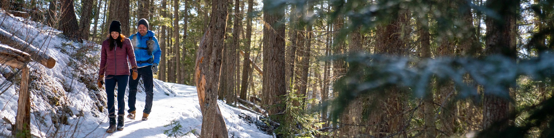
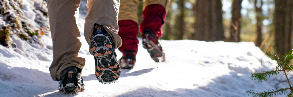
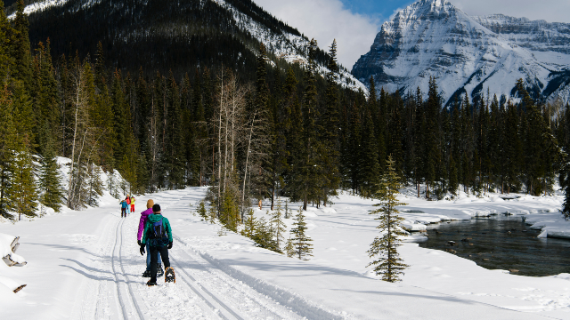
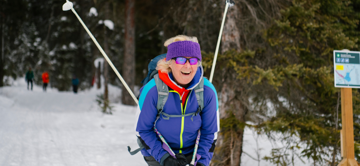
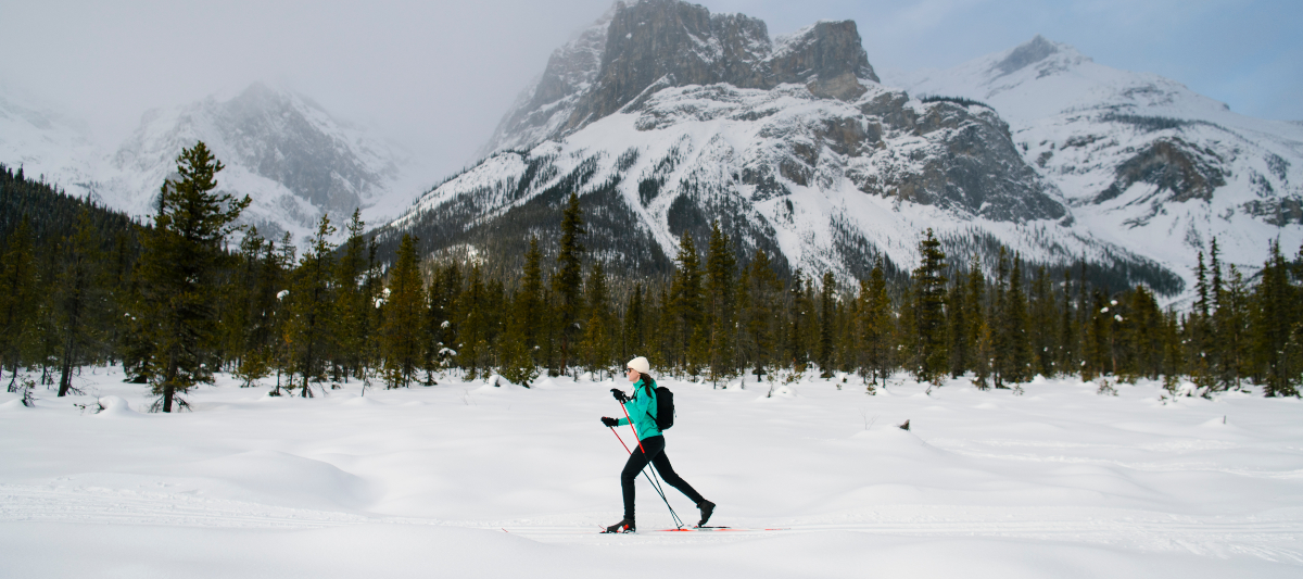
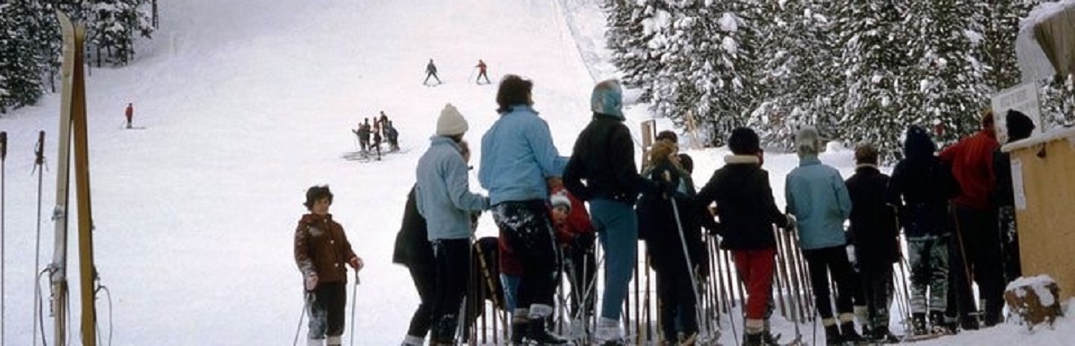
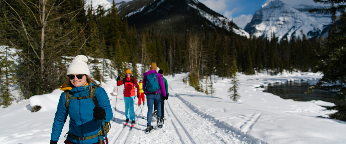
Yoho National Park is on the west side of the Continental Divide and gets a lot of powdery snow. The park offers a variety of winter activities with options for everyone. The natural setting and the simple network of winter trails will charm you. The best skiing and snowshoeing is from late-December until late March.
On average, the cross-country ski trails are groomed twice a week. The grooming frequency depends on snowfall and weather conditions. Check the trail conditions for updates.
Winter safety
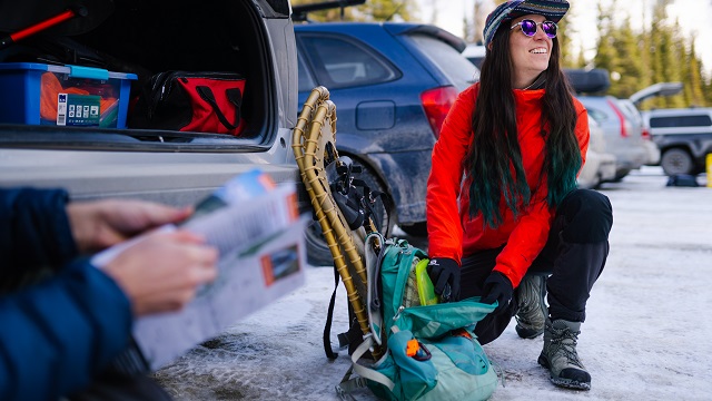
Safety is your responsibility. There are always hazards associated with outdoor recreation. Even short trips can have serious consequences. Minimize your risk by planning ahead:
- Check current trail conditions, warnings and closures.
- Expect that trail conditions and winter hazards may change throughout the day. Consult weather forecasts, and be prepared for changing weather and emergencies.
- Review trail descriptions and maps before heading out. Always choose a trail suitable for the least experienced member in your group.
- Contact the Parks Canada visitor centre in Lake Louise for trip planning advice. Note that the information desk at the Yoho National Park Visitor Centre is closed from mid-October to early May. You can buy your park pass at the self-serve kiosk outside of the visitor centre. The washrooms and free Wi-Fi are also available year-round (24 hours a day, 7 days a week).
- Tell a reliable person where you are going, when you will be back and who to call if you do not return: Parks Canada Dispatch – 403-762-1470.
- Winter hazards include avalanches, disorientation, thin ice, hypothermia and frostbite.
- From November to March, make sure your car is winterized. Snow tires, proper clothing, and an emergency kit are recommended. Visit Road Conditions and Events - DriveBC for road reports.
- In case of EMERGENCY, call 911 or satellite phone: 403-762-4506. Cell phone coverage is not reliable throughout the national park.
 Avalanche safety
 Avalanche safety
Avalanche season in the mountains extends from November to June, and even a short walk can take you into avalanche terrain. Trails with a known hazard are identified with an avalanche symbol in the trail description. When travelling beyond marked trails, or past an avalanche danger sign, assume you are in avalanche country.
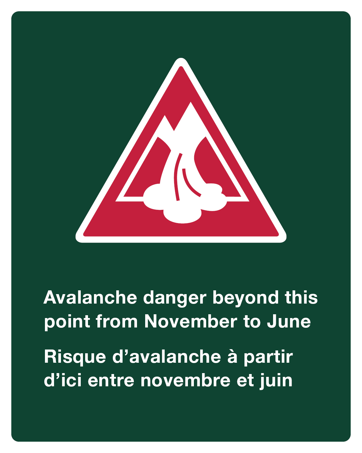
If you see this sign, you are about to enter avalanche terrain.
Do not proceed unless you have avalanche training and a transceiver, probe and shovel.
There are often tracks beyond these signs left by equipped parties – this does not indicate that the trail is safe. You don’t know how informed previous travellers were or what the conditions may have been at the time.
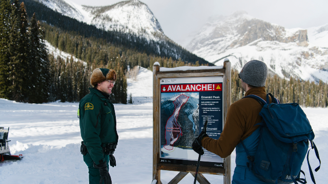
Safety is your responsibility. Check the current avalanche forecast at a Parks Canada Visitor Centre or avalanche.ca
Avalanche zones
- Emerald Lake: There is a large avalanche slide path on the left side of the lake. Only use trail 3A in early season. Look for warning signs.
- Emerald Basin: Travel towards Emerald Basin requires avalanche training and equipment.
- Connector Trail: The maintained trail crosses an avalanche zone. Look for warning signs, and move through the area quickly and safely.
- Yoho Valley Road: Travel beyond the groomed trail requires avalanche training and equipment.
- O’Hara Fire Road: Beyond the Ross Lake Loop Trail, the road travels through avalanche zones. Look for warning signs.
- Sherbrooke Lake: The lake is in a narrow valley surrounded by steep avalanche slopes. Travel beyond the warning signs requires avalanche training and equipment.
For safe trails options, stay on the recommended trails described below.
Learn how to travel safely in avalanche country
Many excellent programs exist to help you learn to travel safely in avalanche country. Visit Avalanche Canada for a list of programs and an online introductory primer.
Visit parksmountainsafety.ca for more information on backcountry travel and how to stay safe in the mountains.
Get outside, have fun and be safe!
Recommended packing list
- Trail guide and map: guidebooks and topographic maps are available at the Banff and Lake Louise visitor centres, and retail outlets in Banff and Lake Louise.
- Full water bottle or thermos
- High energy food
- Bear spray
- First aid kit and repair kit
- Lightweight emergency blanket, candle and lighter or waterproof matches
- Headlamp or flashlight with spare batteries
- Winter hat and gloves
- Extra warm clothing in case of an emergency
- Sunscreen and sunglasses
- Hand and toe warmers
- Cell phone or satellite communication device
Visit parksmountainsafety.ca for additional information on winter packing.
Wildlife
Although bears are denning during the winter, they can awaken at any time for short periods. Cougars, wolves and other wildlife remain active throughout the year. If you see wildlife, do not approach. Give them lots of space and observe from a distance with binoculars or a telephoto lens. If tracks are observed, do not follow them towards the animal.
Be alert, make noise and carry bear spray. Learn more about keeping yourself safe.
Trail etiquette
The trails are shared in Yoho National Park, It means that you could see people classic or skate skiing while you are snowshoeing.
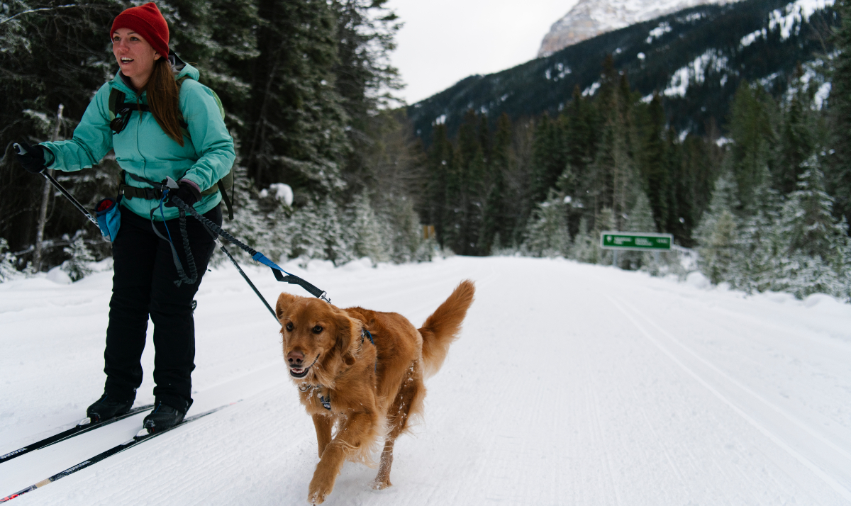
- The track set portion of the trail is for classic skiing only. No dogs are allowed on track set portions. The flat groomed lane is for other users.
- Read the trail descriptions as dogs are not permitted on certain trails. Keep dogs on leash and under physical control at all times. Always pick up after your dog.
- When climbing, please yield the right of way to descending skiers or other users.
- If you fall, move off the track as quickly as possible.
- When taking a break, step to the side, leaving room for others to pass.
- Leave no trace. Pack out everything you pack in.
Trail ratings
|
Easy |
|
|
Moderate |
|
|
Difficult |
|
Important reminders:
- For all trails, be prepared as conditions can change quickly; easy and moderate trails can become difficult due to weather change, icy conditions or poor visibility.
- Estimated time to complete these trails ranges depending on activities, trail distances, fitness levels, weather and trail conditions.
- On most trails you will gain and lose elevation before you reach your destination. Elevation gain represents all the up and elevation loss all the down you will experience on a one-way hike.
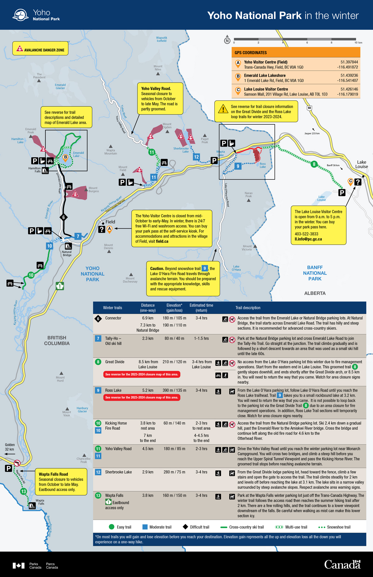
Yoho National Park winter trails map
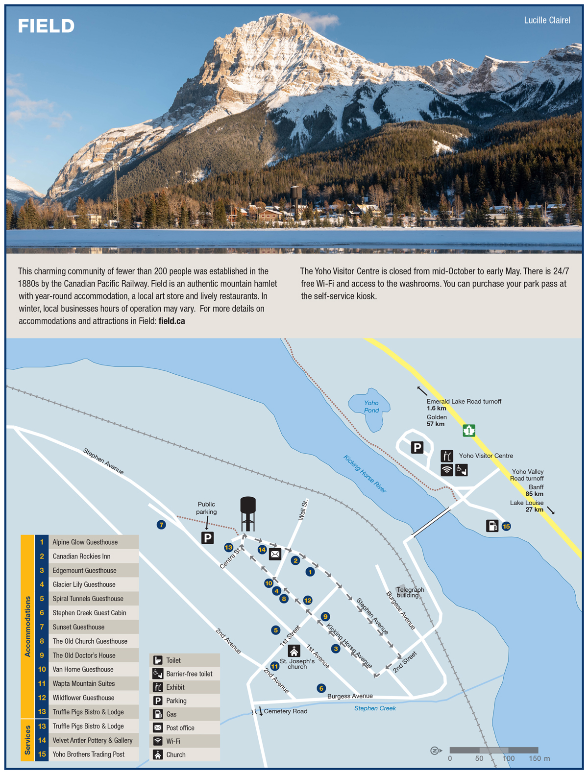
Community of Field (B.C.) in winter
Winter trails in Yoho National Park
| Trail | Distance (one-way) | Elevation gain / loss | Estimated time (return) | Activity |
|---|---|---|---|---|
 1 Hamilton Falls 1 Hamilton Falls |
900 m | 100 m / 5 m | 30 minutes | |
| 2 Peaceful Pond |
900 m | 30 m / 30 m | 30 minutes | |
| 3 Emerald Lakeshore |
5.2 km loop | 120 m / 120 m | 2-3 hours | |
| 3A Emerald Lakeshore |
600 m | 15 m / 15 m | 20 minutes | |
| 3B Emerald Lake Crossing |
500 m | n/a | 20 minutes | |
| 4 Classic Emerald |
1 km (with  4) 4) |
20 m / 20 m | 1 hour | |
| 4 Classic Emerald |
50 m | 10 m / 10 m | 5-10 minutes | |
| 5 Alluvial Fan Loop |
4.3 km | 55 m / 55 m | 1 hour | |
 6 Connector 6 Connector |
6.9 km 7.3 km until Natural Bridge |
180 m / 105 m 190 m / 110 m |
3-4 hours | |
| 7 Tally Ho-Old ski hill |
2.3 km | 80 m / 40 m | 1-1.5 hour | |
| 8 Great Divide Winter closure |
8.5 km to Lake Louise | 210 m / 120 m | 3-4 hours to Lake Louise | |
| 9 Ross Lake Winter closure |
5.2 km to the lake | 390 m / 135 m | 3-4 hours | |
| 10 Kicking Horse Fire Road |
3.8 km to rest area 7 km to the end |
60 m / 140 m | 2-3 hours to rest area 4-4.5 hours to the end |
|
| 11 Yoho Valley Road |
4.5 km | 180 m / 85 m | 2-3 hours | |
| 12 Sherbrooke Lake |
2.9 km | 280 m / 75 m | 3-4 hours | |
| 13 Wapta Falls |
3.8 km | 160 m / 150 m | 3-4 hours |
Trail descriptions
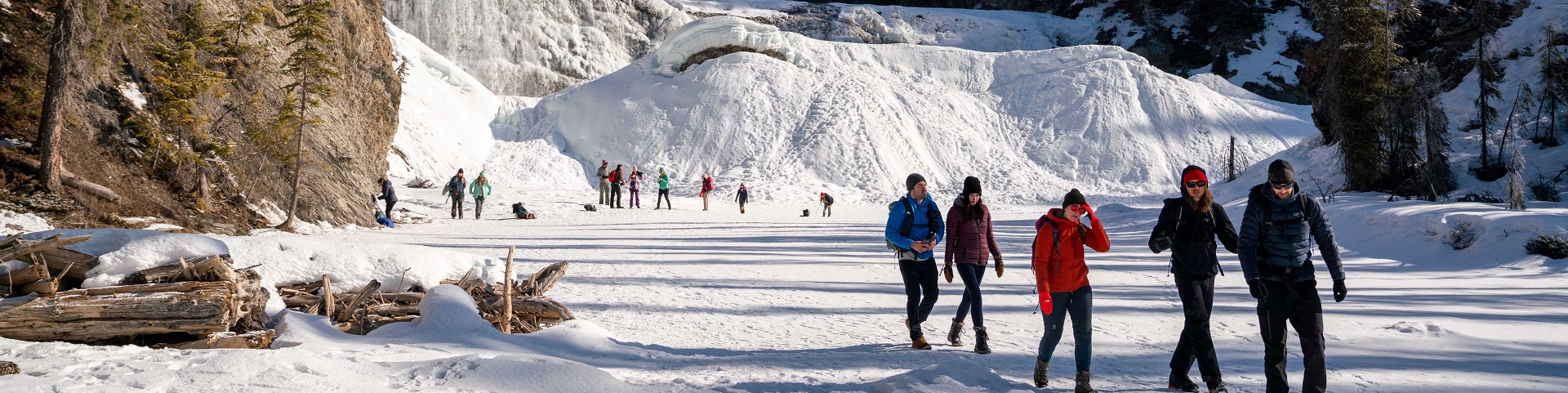
 1 Hamilton Falls
![]() Snowshoeing
Snowshoeing![]() Dogs on leash
Dogs on leash
Description: Quick and easy trip to the frozen Hamilton Falls.
Habitat: Mature forest (lodgepole pine, spruce, fir, cedar), canyon and frozen waterfall.
Length (One way): 900 m
Estimated time (return):30 minutes
Elevation gain: 100 m | Elevation Loss: 5 m
Trailhead: Access the trail from the west side of the Emerald Lake parking lot.
2 Peaceful Pond
![]() Snowshoeing
Snowshoeing ![]() Dogs on leash
Dogs on leash
Description: Hike in the forest near Peaceful Pond. When you arrive at the Emerald Lakeshore Trail junction, keep left to go back to the lodge and parking lot. Turn right for a longer adventure around Emerald Lake.
Habitat: Mature forest (lodgepole pine, spruce, fir, cedar), canyon and frozen waterfall.
Length (One way): 900 m
Estimated time (return):30 minutes
Elevation gain: 30 m | Elevation Loss: 30 m
Trailhead: Access the trail from the east side of the Emerald Lake parking lot.
3 & 3A Emerald Lakeshore / 3B Emerald Lake crossing
![]() Snowshoeing
Snowshoeing![]() Dogs on leash
Dogs on leash
Description: In early season, the trail 3 starts by the Emerald Lake public washroom ( 3A ) when grooming on the lake is not safe yet, and then follows the perimeter of the lake clockwise. Once the lake surface is frozen, the trail 3 starts on the lake ( 3B ) to avoid the avalanche path.
Habitat: Frozen lake with views of the mountains, and then mature western forest.
Length (One way):
5.2 km loop 3 (with 3A OR 3B)
600 m 3A
500 m 3B
Estimated time (return):
2-3 hours 3 (with 3A OR 3B)
20 minutes 3A
20 minutes 3B
Elevation gain:
120 m 3 (with 3A OR 3B)
15 m 3A
n/a 3B
Elevation Loss:
120 m 3 (with 3A OR 3B)
15 m 3A
n/a 3B
Trailhead: Emerald Lake parking lot.
4  4 Classic Emerald
.jpg)
![]() Classic skiing
Classic skiing
Description: The moderate section of trail 4 is very short but steep. The easy section of trail 4 has gentle rolling hills and leads to the back of Emerald Lake. Continue on the Alluvial Fan Loop for panoramic views.
Habitat: Mature forest (lodgepole pine, spruce and fir).
Length (One way): 1 km
Estimated time (return):
1 hour (4 & 4)
5-10 minutes (4)
Elevation gain:
20 m (4)
10 m (4)
Elevation Loss:
20 m (4)
10 m (4)
Trailhead: Access the trail by 3A (early season) or 3B (on the lake is frozen). Once the lake surface is frozen, the trail starts on the lake (see 3B) to avoid the avalanche path.
5 Alluvial Fan Loop
![]() Classic skiing
Classic skiing
Description: You can glide both ways on this loop on the alluvial fan at the back of Emerald Lake. Enjoy the views of the mountains at one of the rest areas along the trail. Continue until you merge back with 4.
Habitat: Open view, alluvial cone, and views of surrounding mountains.
 Warning: On the loop, Emerald Basin junction is a destination for backcountry users and goes through avalanche terrain. It is not a part of the Yoho winter trail offer. Travel beyond this point requires avalanche training and equipment.
Length (One way): 4.3 km
Estimated time (return):1 hour
Elevation gain: 55 m | Elevation Loss: 55 m
Trailhead: Access the trail by 4.
 6 Connector
![]() Classic skiing
Classic skiing
Description: The trail has hilly and steep sections. It is recommended for advanced cross-country skiers.
Habitat: Mature forest (lodgepole pine, spruce and fir).
Warning: The maintained trail crosses an avalanche zone. Look for warning signs, and move through the area quickly and safely.
Length (One way):
6.9 km
7.3 km until Natural Bridge via 7
Estimated time (return): 3-4 hours
Elevation gain:
180 m
190 m until Natural Bridge via 7
Elevation Loss:
105 m
110 m until Natural Bridge via 7
Trailhead: Access the trail from the Emerald Lake or Natural Bridge parking lots. At Natural Bridge, the trail starts across Emerald Lake Road.
7 Tally-Ho - Old ski hill
![]() Classic skiing
Classic skiing
Description: Once on the trail, put on your cross-country skis. Go straight at the junction. The trail climbs gradually and is followed by a short descent towards an area that was a small ski hill until the late 1960s.
Habitat: Mature forest (lodgepole pine, spruce and fir).
Length (One way): 2.3 km
Estimated time (return):1-1.5 hour
Elevation gain: 80 m | Elevation Loss:40 m
Trailhead: Park at the Natural Bridge parking lot and cross Emerald Lake Road to join the Tally-Ho Trail.
8 Great Divide
![]() Snowshoeing
Snowshoeing![]() Classic skiing
Classic skiing![]() Skate skiing
Skate skiing![]() Biking
Biking
Winter closure For more information, download a map and check parks.canada/yoho-bulletins
Description: This groomed trail (8) gently slopes downhill, and ends shortly after the Great Divide arch, or 8.5 km in. You will need to return the way that you came. Watch for area closure signs nearby.
Habitat: Mature forest (lodgepole pine, spruce and fir), cliffs, and views of surrounding mountains.
Length (One way): 8.5 km to Lake Louise
Estimated time (return): 3-4 hours to Lake Louise
Elevation gain: 210 m to Lake Louise | Elevation Loss: 120 m to Lake Louise
Trailhead: No access from the Lake O'Hara parking lot this winter due to fire management operations. Park at the Great Divide parking lot on Lake Louise side. Start from the eastern end in Lake Louise.
9 Ross Lake
![]() Snowshoeing
Snowshoeing![]() Dogs on leash
Dogs on leash
Winter closure For more information, download a map and check parks.canada/yoho-bulletins
Description: Trail (9) takes you to a small rockbound lake at 3.2 km. You will need to return the way that you came. It is not possible to loop back to the parking lot via the Great Divide Trail (8) due to an area closure for fire management operations. In addition, Ross Lake Trail sections will temporarily close. Watch for area closure signs nearby.
Habitat: Mature forest (lodgepole pine, spruce and fir) and frozen lake.
Warning: Beyond the Ross Lake Loop Trail, the Lake O’Hara Fire Road travels through avalanche zones. Look for warning signs.
Length (One way): 5.2 km to the lake
Estimated time (return):3-4 hours
Elevation gain: 390 m | Elevation Loss:135 m
Trailhead: From the Lake O'Hara parking lot, follow Lake O'Hara Road until you reach the Ross Lake trailhead.
10 10 Kicking Horse Fire Road
![]() Snowshoeing
Snowshoeing![]() Classic skiing
Classic skiing
Description: Ski 2.4 km down a gradual hill, past the Emerald River to the Amiskwi River bridge. Cross the bridge and continue left along the old fire road for 4.6 km to the Otterhead River.
Habitat: Mature forest (lodgepole pine, spruce and fir), river, and views of the surrounding mountains.
Length (One way):
3,8 km to rest area
7 km to the end
Estimated time (return):
2-3 hours to rest area
4-4.5 hours to the end
Elevation gain: 60 m | Elevation Loss:140 m
Trailhead: Access the trail from the Natural Bridge parking lot.
11 11 Yoho Valley Road
![]() Snowshoeing
Snowshoeing![]() Classic skiing
Classic skiing![]() Dogs on leash
Dogs on leash
Description: You will cross two bridges, and climb a steep hill before you reach the Upper Spiral Tunnel Viewpoint and pass the Kicking Horse River.
Habitat: Frozen cascades, cliffs and views of surrounding mountains.
Warning: Travel beyond the groomed trail requires avalanche training and equipment.
Length (One way): 4.5 km
Estimated time (return): 2-3 hours
Elevation gain: 180 m | Elevation Loss: 85 m
Trailhead: Drive the Yoho Valley Road until you reach the winter parking lot near Monarch Campground.
12 Sherbrooke Lake
![]() Snowshoeing
Snowshoeing![]() Dogs on leash
Dogs on leash
Description: The trail climbs steadily for 2 km and levels off before reaching the lake at 3.1 km.
Habitat: Mature forest (lodgepole pine, spruce and fir) and frozen lake with open views.
Warning: The lake is in a narrow valley surrounded by steep avalanche slopes. Travel beyond warning signs requires avalanche training and equipment.
Length (One way): 2.9 km
Estimated time (return): 3-4 hours
Elevation gain: 280 m | Elevation Loss: 75 m
Trailhead: From the Great Divide Lodge parking lot, head toward the fence, climb a few stairs and open the gate to access the trail.
13 Wapta Falls
![]() Snowshoeing
Snowshoeing![]() Dogs on leash
Dogs on leash
Description: The winter trail follows the access road then reaches the summer hiking trail after 2 km. There are a few rolling hills, and the trail continues to a lower viewpoint down river from the falls. Be careful as you walk as mist makes this lower section icy.
Habitat: Mature forest (lodgepole pine, spruce and fir) and frozen waterfalls with open views.
Length (One way): 3.8 km
Estimated time (return):3-4 hours
Elevation gain: 160 m | Elevation Loss:150 m
Trailhead: Eastbound access only from Highway 1. Park at the Wapta Falls winter parking lot just off the Trans-Canada Highway.
- Date modified :